This section describes the basic concepts of Map control.
Map Source
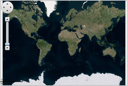
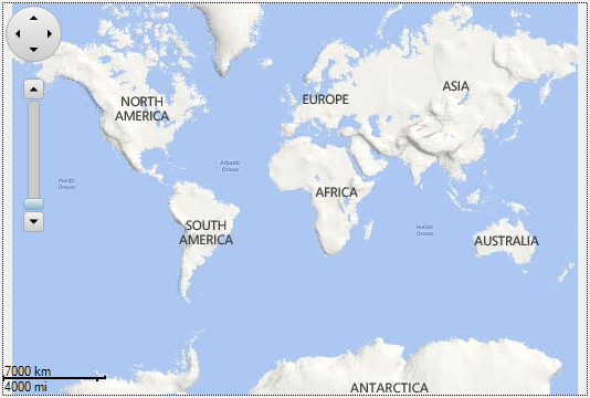
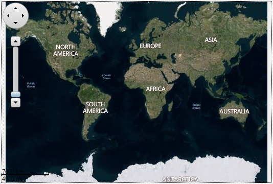
C1Map can display geographical information on a map from several sources. You can use TileSource property to specify the tile source used by the map for its tile layer. C1Map provides three built in tile sources which are listed below along with the code required to :
- VirtualEarthAerialSource
- VirtualEarthRoadSource
- VirtualEarthHybridSource
Coordinate Systems
Map control uses three coordinate systems:
- Geographic coordinates mark points in the world using latitude and longitude. This coordinate system is not Cartesian, which means the scale of the map may change as you pan.
- Logical coordinates go from 0 to 1 on each axis for the whole extent of the map, and they are easier to work with because they are Cartesian coordinates.
- Screen coordinates are the pixel coordinates of the Control relative to the top-left corner. These are useful for positioning items within the control and for handling mouse events.
C1Map provides six methods for converting between these coordinate systems: ScreenToGeographic, ScreenToLogic, GeographicToScreen, GeographictoLogic, LogictoGeographic, and LogicToScreen.
Information Layers
In addition to the geographical information provided by the source, you can add layers of information to the map. C1Map includes three layers by default, namely Tile layer, Vector layer, and Virtual layer.